
Cartographic
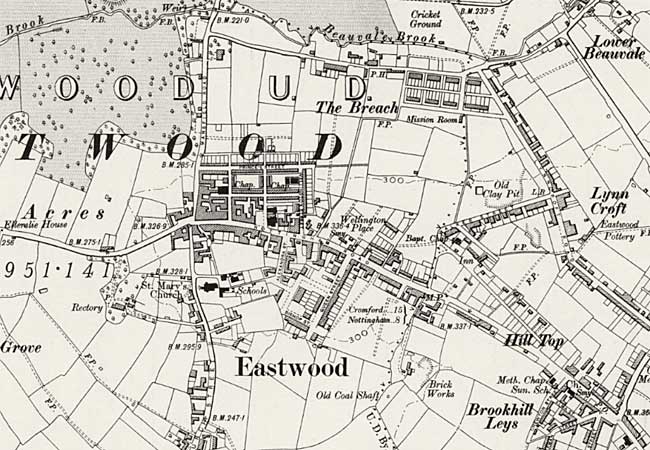 Eastwood on the Ordnance Survey 6" to the mile map of 1901 (courtesy of the National Library of Scotland).
The 2nd-3rd editions of large scale Ordnance Survey maps of the 1890s and early 1900s illustrate in great detail the landscape in and around Eastwood that Lawrence knew so intimately.
Online digital archives of these maps are accessible through the National Library of Scotland and Nottinghamshire Insight Mapping websites: